Geocomputation seminar

Lexが来学する機会を得たので、情報科学研究科の井上研と共同で臨時のセミナーを開催しました。

Date and time: 15:30 – 17:00, 5th April  (Wed) 2023Place: Exhibition Room 3, 1st Floor of the main building of the graduate school of environmental studies, Tohoku University.

Prof. Lex Comber, Professor of Spatial Data Analytics, School of Geography, University of Leeds, UK; Spatially varying coefficient modelling with a Geographical Gaussian Process GAM: GGP-GAM

Ms. Zhan PENG, doctoral student, Graduate School of Information Sciences, Tohoku University: Spatial heterogeneity analysis from the perspective of data distribution: An eigenvector spatial filtering-based spatially varying quantile regression model

2023年3月実施「ライフコースと暮らし・健康・地域に関する社会調査」

本調査は、社会・経済・地域の環境が大きく変化するなかで、どのように人々の暮らしや意識、健康に関係する行動が変化するのかを明らかにすることを目的とし、 東北大学の本研究室を代表にした複数の機関にわたる研究組織で企画・実施しております。 調査協力の依頼がありましたら、本調査の趣旨をご理解の上、何卒ご協力くださいますよう、よろしくお願い申し上げます。

本調査は2023年3月22日を持ちまして、調査の実査を完了いたしました。ご協力いただいた皆様に深く感謝申し上げます。

Web app: COVID-19 spatio-temporal case density map

This web-application visualizes the spatio-temporal spread of the outbreak of a novel corona infectious disease (COVID-19) over Japan. The location of the COVID-19 outbreaks in this spatio-temporal map was obtained from a kind of voluntary geographical information of outbreaks in various facilities such as commercial facilities, restaurants, hospitals and offices (according to JX Press Corporation) while the vertical axis represents time of the outbreaks. This map provides a risk distribution of the on-going outbreaks as well as the past outbreaks in a high-resolution space-time realm. Thanks to the API provided by JX Press, the map has been automatically updated almost daily. https://nakaya-geolab.com/covid19-stkd/japan/

The map was originally made only for the outbreaks in the Tokyo metropolitan area which highlighted the city centres of Tokyo as the enduring epicentre.

The version of the Tokyo metropolitan area well as that of the Kansai (Osaka-Kyoto-Kobe area) are still available.

The space time density clouds were made by the space-time kernel density and volume rendering technique which were explained in a paper on crime analysis published in 2010. To use ArcGIS online as a platform to disseminate the space-time map as an interactive 3D scene, the space-time density tool for ArcGIS Pro was made and applied to the COVID-19 web app. The tool is available at the tool page.

New book released: “The Atlas of Health Inequalities in Japan” from Springer

This new health atlas of Japan was published in October, 2019. It contains a series of small-area based cartogram of health outcomes, mainly cause-specific mortality, in Japan with a variety of summary graphs of geographic health inequality measures, such as slope index of inequality (SII) and relative index of inequality (RII) during the period from 1995 to 2014. These contents highlight geographical aspects of social gradients in health by comparing mortality maps with distribution of area deprivation index during the recent long-lasting economic stagnation period of Japan known as the lost decades. This book also contains a variety of background explanations about the geography in Japan during the study period, including social areas in metropolitan regions and the Great East Japan Earthquake (GEJE) with huge Tsunami in 2011. The cover image is the prismic cartogram of standard mortality ratio of all-cause deaths for men during 2010-2014. This image shows a large amount of deaths in the coastal areas in the northern part of Japan as red coloured hills. This was caused by the Tsunami up to about 20m height in 2011. The image also highlights a large morality gaps within metropolitan regions reflecting socio-economic residential segregation. How should we tackle with the socio-geoggraphical inequalities of health for coming-ages?

Hello GeoWorld.

Tomoki Nakaya Lab — Environmental Geography Lab, the Graduate School of Environmental Studies, Tohoku University — was launched on April, 2018. The lab regularly collaborates with the human geography group at the Graduate School of Science, Tohoku University by maintaining the same seminar course.

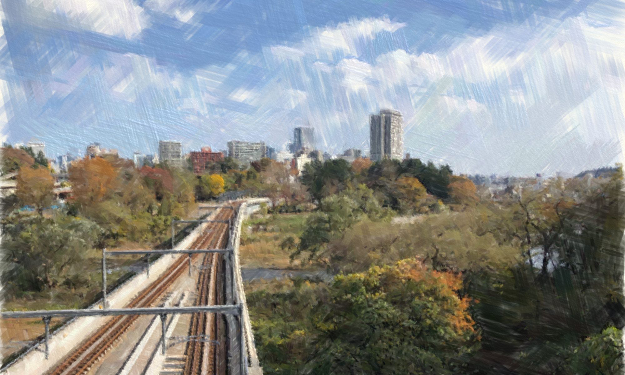
The image is the eastward view over Hirose river from the International Centre Station which is close to Kawauchi Campus. The lab is situated in Aobayama New Campus surrounded by leafy landscapes. The nearest station is Aobayama subway station. Just a few minutes walk from there.

東北大学大学院 環境科学研究科 環境地理学研究室(中谷研)は、2018年4月に開設されました。理学研究科地学専攻人文地理グループと合同で活動しています。研究室は、青葉山新キャンパス内にあり、仙台市営地下鉄の青葉山駅にほど近い場所に位置しています。